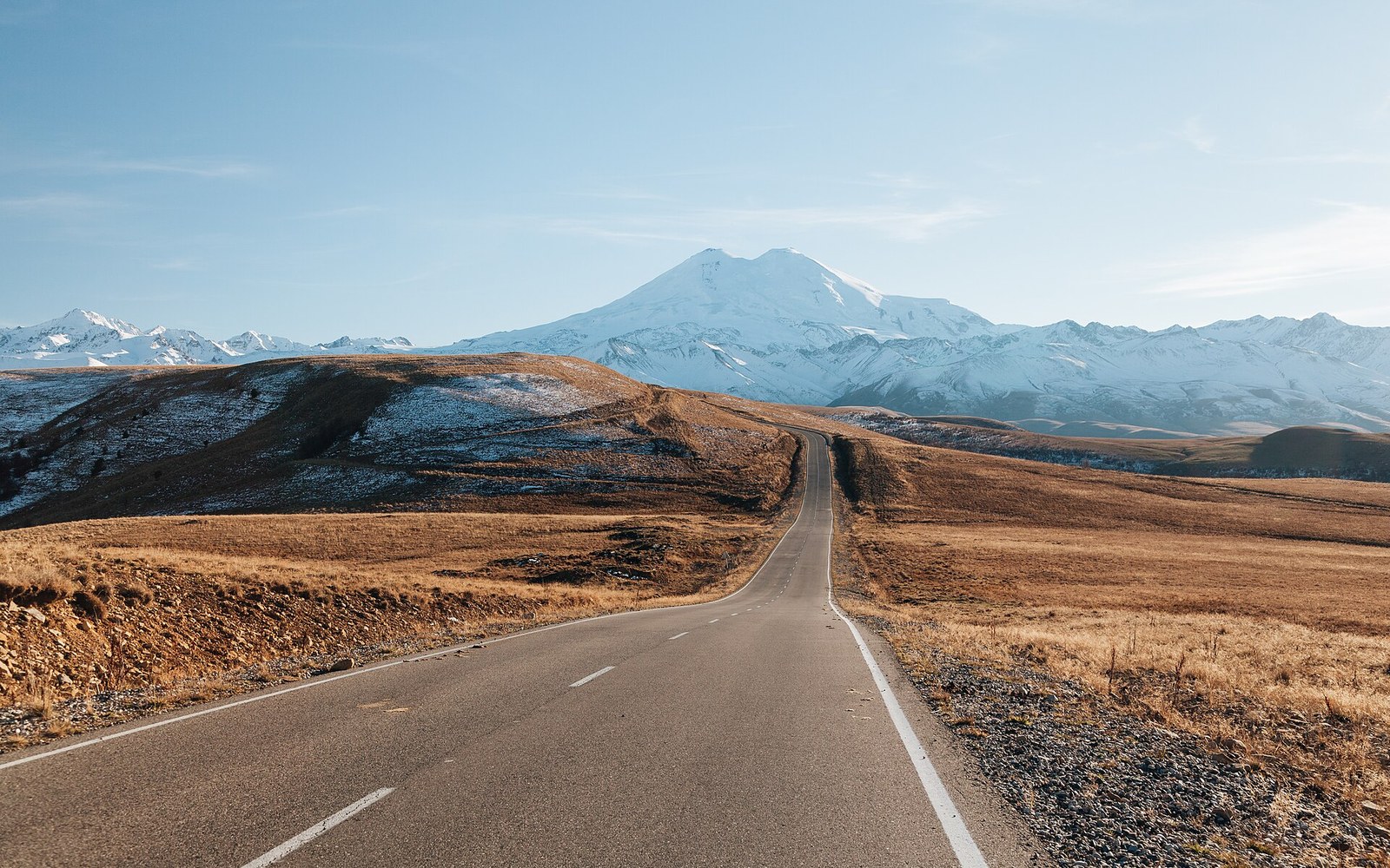
One valley carries the road, the river and the people
The Baksan runs from the glaciers down past the villages that supply the mountain, and it is the republic’s spine.
The river that organises everything
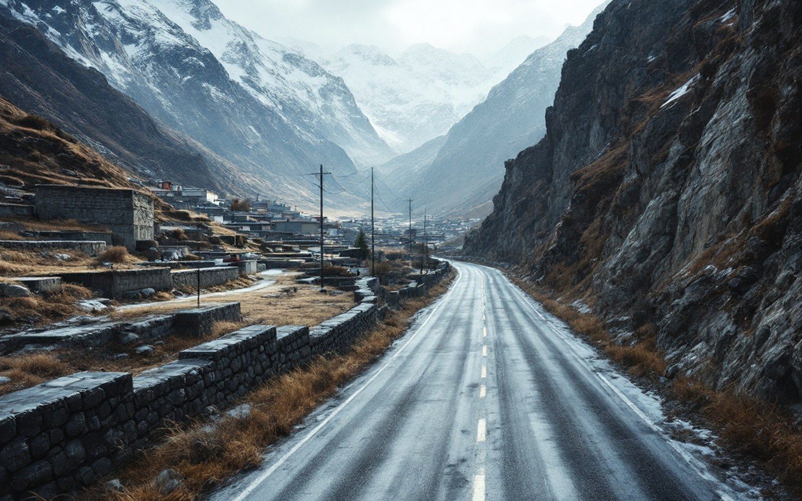
Kabardino-Balkaria is not a large republic, but it is a vertical one. The land rises from the flat steppe in the north to the highest point in Europe at Elbrus’s summit, 5,642 metres above sea level, and almost everything in between is organised by water. The Baksan River is the main fact. It begins in the glaciers above the Baksan valley, collects snowmelt from the ridges on either side, and runs north and then west until it joins the Malka on the open plain. The road runs with it for most of that journey, and so do the villages, the power lines and the people who need to move between the lowlands and the high peaks.
That alignment is not accidental. The valley is wide enough to carry a road and narrow enough to give shelter from the winds that scour the exposed plateau above. The Balkars — the Turkic-speaking mountain people whose name is shared with the republic alongside that of the Kabardian Circassians — built their settlements in these sheltered corridors for the obvious reasons: water, protection and a route that stayed passable for more of the year than the high passes above.
From glacier to plain
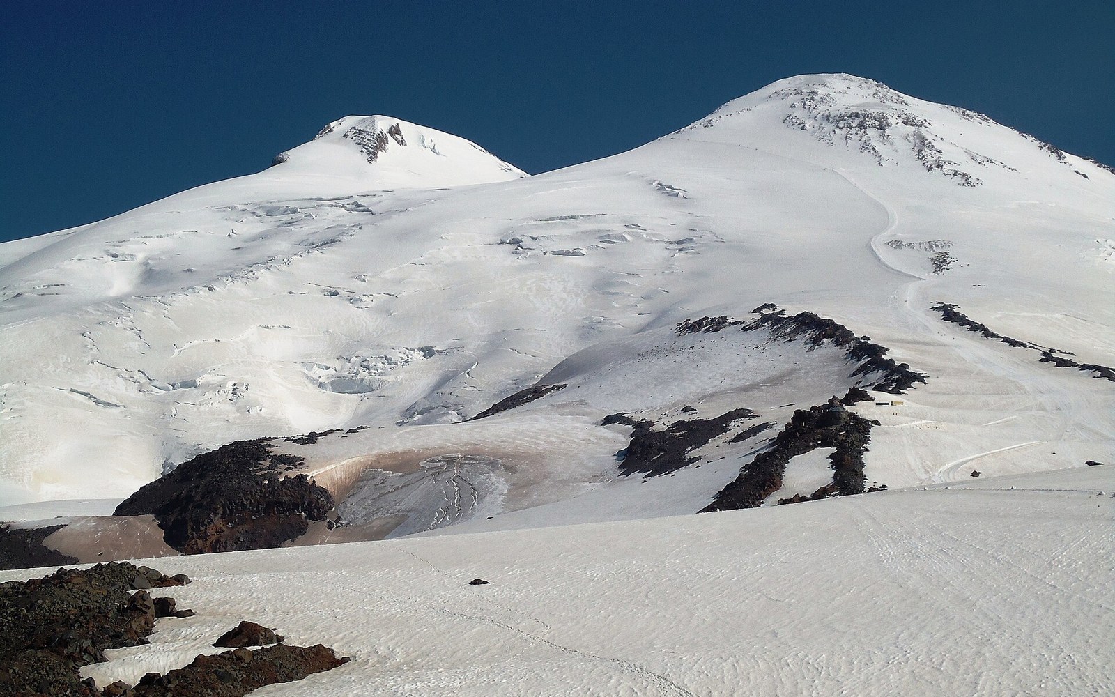
The upper Baksan is the approach to Elbrus. The settlement of Terskol sits near the head of the valley and marks the end of the surfaced road, beyond which the mountain proper begins. Azau, a short distance above, is where the cable cars rise into the snowfields. This is the infrastructure of a climbing and skiing economy, and the valley road is its artery — lift equipment, fuel, food and rescue teams all move along it. In summer the same road carries the trekkers and the alpinists who come for the normal route up Elbrus’s western shoulder.
Below Terskol the valley opens gradually. Elbrus village, then Neutrino — site of a deep underground physics laboratory built into the rock during the Soviet period — then Tyrnyauz, the largest settlement in the upper valley, which grew around a now-inactive molybdenum and tungsten mining complex. The mine’s closure left Tyrnyauz economically exposed in a way that the mountain tourism economy has not fully replaced, and the town’s concrete apartment blocks stand as a document of what the Soviet industrial logic brought here and then withdrew.
Further down, the valley widens into the middle Baksan corridor. The villages here — Kashkhatau, Kamenka, Zayukovo — are farming and residential settlements, connected to Nalchik by a road that becomes a commuter route as the valley floor levels out. The river itself has slowed by this point, broad and braided where the gradient eases, and the landscape has changed from dramatic to merely beautiful: orchards, hayfields, the occasional Soviet-era sanatorium in the trees.
The spine is also a memory
The 1944 deportation of the Balkar people emptied the valley villages in a single operation. The entire Balkar population was loaded onto trains and transported to Kazakhstan and Kyrgyzstan; the settlements in the Baksan and the neighbouring gorges stood vacant for more than a decade. When the Balkars were permitted to return after 1957, many found their villages occupied or demolished, and the process of re-establishing life in the valley was slow and incomplete. That history is written into the present geography — in the demographics of which settlements recovered and which did not, in the uneven ages of the buildings, and in the way the republic’s official identity carries both the Kabardian and Balkar names without always resolving what that double inheritance means on the ground.
The Baksan does not carry that history in any symbolic sense; it is a river. But the valley it has cut over millennia is the corridor through which almost everything in the republic’s mountain half has to pass — commerce, movement, memory, the electricity that the Baksan hydroelectric cascade generates for the lowland grid. The road, the river and the people share the same slot in the rock, and the valley is the shape that everything else fits around.
Reference
The material below is drawn from the same sources as the piece above, set out as a summary rather than as prose.